


Learning about the RP with Google in the Sky (UNEDITED VERSION)
By Philip Dominguez MercurioHere’s a program you should download: Google earth.
My Uncle Henry suggested it a while back. I initially didn’t download it when I first learned about it but when I did - Wow.
Incredible. What can I say - It’s like having the globe at your fingertips.
The features are amazing. Just like your desktop globe, you could turn it anyway you please but unlike it, on this globe you could zoom into a particular region of your choosing coming in like a freak asteroid straight for you destination or like the space shuttle coming in for a more angled landing. Checkmark the “terrain” box and the topography becomes three dimensional. The mountain ranges from Himalayas in Nepal to the Andes that straddle Chile and Argentina immediately come to life, showing their dramatic slopes and valleys. The same could be said by checking the “3D buildings” box where the skylines of major American cities are revealed with correct proportions. It’s still in its primitive stages, with the buildings appearing pretty boxy and colorless, but it gives you a great perspective of how the city’s landscape would appear from a certain location on the map.
The feature that has intrigued me the most though is the detailed satellite images they’ve done, in particular for populated areas. Some of them are so detailed, you could basically pick out you house and even better, a tree or bush in your front or backyard if you knew where to look. More importantly - to me at least - using such images gave me a great way to learn about the Philippines.
I know - nothing beats the real thing but since I’ve haven’t been to the Philippines yet, Google Earth was the best way to go about it. And since I love maps, even when I was a kid, the program gave me a great way to learn the road network in Metro Manila - however convoluted it is - so I won’t get lost when I get there. As the expression goes - hit the ground running if you know what I mean.
At first though, the program was pretty disappointing. Last year, much of the Philippines was basically a big blur. From afar the image of the islands and the surrounding seas were ok but zooming in more closely into cities like Caloocan and Taguig, only blurry images of building and roads could be picked up. Nothing very helpful. While places like Singapore and Hong Kong had detailed images of their cities, the Philippines’ largest metropolis was still a fuzzy blur. There were exceptions surprisingly - like Angeles City and Cavite, both of whom had detailed pictures but places like Metro Cebu, Davao and Manila were still unrecognizable.
The breakthrough came this year just around Philippine Independence Day. A major update of satellite images took place and the entire Metro Manila could be seen clearly using the program. There were still some technically difficulties, such as clouds taken during shots of the ground, darkening some parts of the city and at worst literally covering it - like the central business district of Mataki - but further updates removed those flaws.
Frankly, it’s been great. My parents were able to show me where they lived. My dad was able to find the location of their family home near the intersection of Vito Cruz and President Sergio Osmena in the Manila’s San Andreas Bukid. My mom was able to find her house, albeit after three or so hours, on Supnet in Quezon City’s Project 7. Mind you the last time they were in the Philippines was in the late seventies so I’m sure even their directions were a bit rusty but at least, finally those places they’d always tell me about actually have a location on the world map I could refer to.
As excited I was seeing the district where my grandma went shopping with my dad (Divisadora), the universities where my parents went to (FEATI and UE), and some of the buildings my grandpa reconstructed following World War II (i.e. the Post Office at the end of Taft Ave), there was something disturbing about the images as well. A couple of houses away from where my Dad lived, just down the street from La Paz Elementary School were houses that ceased to follow the block format, had roofs that were smaller and grayish, and had streets that seemed unplanned my first sight of what they call, “informal settlements.”
Now, I know what you’re thinking. “Well, Philip. Even you who’ve never been there should know the Philippines is a developing country and as such, downtrodden neighborhoods are bound to exist.”
Well. I realize that - however what I hadn’t expected was the magnitude of the situation. It’s one thing looking at such areas from a picture at street level - it’s a whole other thing to see these areas from the sky.
The informal neighborhood which exist east of where my dad’s house is, is pretty extensive - over hundred houses and even worst, this neighborhood was only the tip of the iceberg. You could find hundreds of these places squeezed between warehouses adjacent to the SLEX, craved out of the banks of the Pasig River and along and on what seems to be the Chinese-government’s-promised North Rail Project. Basically, all one needs to do is follow the line of houses up to Bulacan to figure out where the rail line formerly was and is now going to be built.
And it wasn’t the poverty that threw me off but the depth, the very enormity of it all. For instance, the entrance road to the North Harbor is flanked with scores of informal residences making it one of the larger communities I’ve seen, with some settlements that were 20 or so roofs away from the main thoroughfare. I wonder if those truck drivers passing that place everyday realize how deep those places really go. Even my dad was surprised because when he was growing, the walls outside Intramurous where filled with settlers (now replaced by a golf course) but still even he doesn’t remember such residences extending from the mouth of the Pasig all the way into the bay itself.
By far, my biggest disappointment was using Google Earth to compare our metropolis with our neighbors. The only one that comes close to resembling our situation is Bangkok. Of course, even their squatters seemed to exist in communities of only 10 or 20 houses, scattered sporadically through their metro - their impact not nearly as imposing as the ones in Metro Manila.
Even my girlfriend, who has gotten lost when entering similar informal communities before in North Jakarta, was stunned by some of the locations our government has allowed informal settlers to occupy: A street across from some glistening skyscrapers in Makati; bordering fences near the NAIA runway; propped-up against property opposite of Malacanang Palace. She told me the Indonesian government back home would never allow such structures to even come near such high-profile areas.
In fact, in Jakarta, such communities are the target of crackdowns from the government. With little notice, the government would evacuate such places, bulldozing them within hours of informing them, forcing many of the evicted into the street. A look using Google Earth shows how drastic their place is compared to ours. Much of their city, especially the interior, is slumless.
It’s highly unlikely that would happen in the Philippines. We actually have compassion for our people when evicting them - compassion enough to compensate for their loss homes by building them another one someplace else, usually at the fringes of the city. Some swindlers even took advantage of this kindness, selling the materials from their homes and moving back to their original spots to get another one to the ire of Noli De Castro, but hey - at least we tried. Unfortunately, unlike Jakarta, Manila takes such steps usually when building big projects, like NorthRail - not just because they see another potential big eyesore. I think that policy should be changed.
Now, I’m not saying we should go full throttle like Indonesia and demolish everything we don’t like. That would be inhumane. We’re better than that.
Instead, the least the government should do is mandate places of interest - especially those with importance in business or tourism affairs - off limits, so foreigners would be spared the first impression of interpreting us as a poverty-stricken country with an ineffective government. We always wonder why foreign investors pass us by for our neighbors but think about it - who in their right mind would want to invest their millions in our country when the first thing they see across the tarmac are “homes along the airport.”
It may be funny to us, noting we even made it into a television show, but I don’t think they’re laughing. - PDM
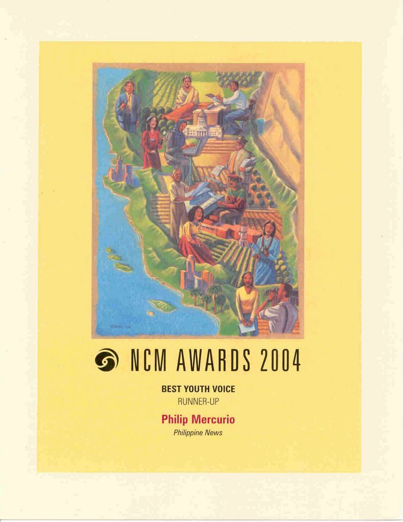
See this article,"Googleing Poverty" in Philippine News. Click here.
Column from the Philippine News © 2004
![]()


<< Home